ADVERTS
How maps were made in the past and today – Evolution of Maps
Nowadays we have maps in different ways, we can even use satellite images to identify the places where we are going, but in the past it wasn't like that, things were much more difficult and complicated, not least because there weren't many tools that could help when making a map, so let's see in this article the whole story of how maps were made and how they evolved over the years.
What are Maps?
The map is a visual representation of a specific region, or even of the globe as a whole. Maps are, generally, two-dimensional representations of a three-dimensional space.
ADVERTS
The science of map design comes from cartography, coming from the human need to know and represent its space.
How were maps made in the old days?
The oldest maps were found in a city in Turkey called Çattal Huyulk and were dated around 6200 years BC (before Christ), these maps were found drawn on a wall and followed the same line of other civilizations, such as For example, Aztec, Eskimo, Mesopotamian, etc.
They all went on missions to recognize the territories where they lived, marking stretches where they found water, food, etc.
How was the map creation process in the past? (Ancient Cartography)
At the very beginning of time, cartographers used parchment to make their maps. The parchment was made with the skin of goats and sheep, these animals had their skins torn off, then placed in a liquid preparation to remove the hair and then it was placed to dry, all this to have a more malleable leather that would absorb the ink of a best way.
A goose quill was used to write on the parchment, the cartographers always kept a knife nearby to sharpen the tip of the pen and the ink used is a mixture of coal ash, to which a kind of gum or metallic substances were added, all of which to give more fluidity and consistency to the paint. The gall nut or oak bug, diluted in wine and fixed with minerals, was another pigment used in the manufacture of paints in the Middle Ages.
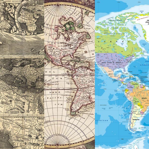
Old World Map Example (click to enlarge)

First World Map as we know it today (click to enlarge)
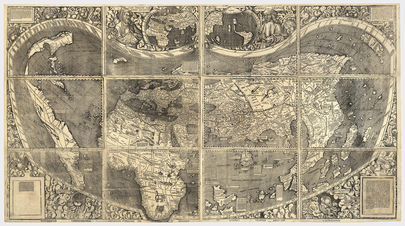
The first Map that portrays the world as we know it today was made in 1507 by Martin Waldseemülle, on the map that can be seen below, the Earth was divided between East and West, 15 years later with the arrival of Europeans to the American continent that had the design of more land around the world. See the image below:
Evolution of maps
With the invention of paper, maps began to be drawn on sheets and this helped one of the great steps in the evolution of maps, which was the time of the Discoveries and the great navigations, when the areas represented became much larger than before and the need arose to obtain good levels of precision in order to be able to navigate with relative safety.
Going a little further in time, even before the era of satellites, more precisely in the era of airplanes, there was another big step in the production of maps, as flights needed even more security, so airplanes were used to make the records with more map accuracy. A curiosity is that the maps of the Amazon, for example, were made thanks to data from the RADAM Brasil project, which used planes to make these records.
How are maps made these days?
Currently we know that satellites and super computers are used to do all the work that formerly were done by men in expeditions, ships and even planes, but now with the intention of finding a destination, checking the traffic on the roads and even finding bars, fuel stations and know about people's opinions about these places.
Maps nowadays have gone much further than the initial need to know and represent the space where we live, we can do everything with the information we find in them, even the basics, which exactly inform with surgical precision the different territories of our planet.
How is the process of creating the map currently done? (Modern Cartography)
After the beginning of the maps that were made with parchment, goose feather and charcoal, a lot has changed in the course of all this time, everything has evolved and with the maps it was no different.
During this evolution, an equipment that was widely used for the manufacture of maps was the press, the press was an invention that revolutionized this and other types of manufacturing such as books around the 19th century, even mobile presses were invented, this made making the maps more standardized.
Going a little further in time, arriving at the present day, satellites and aerial photos of images taken with planes and terrestrial photos are being used. And in addition, they are using Geoprocessing to make maps and cartographic charts.
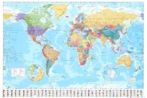
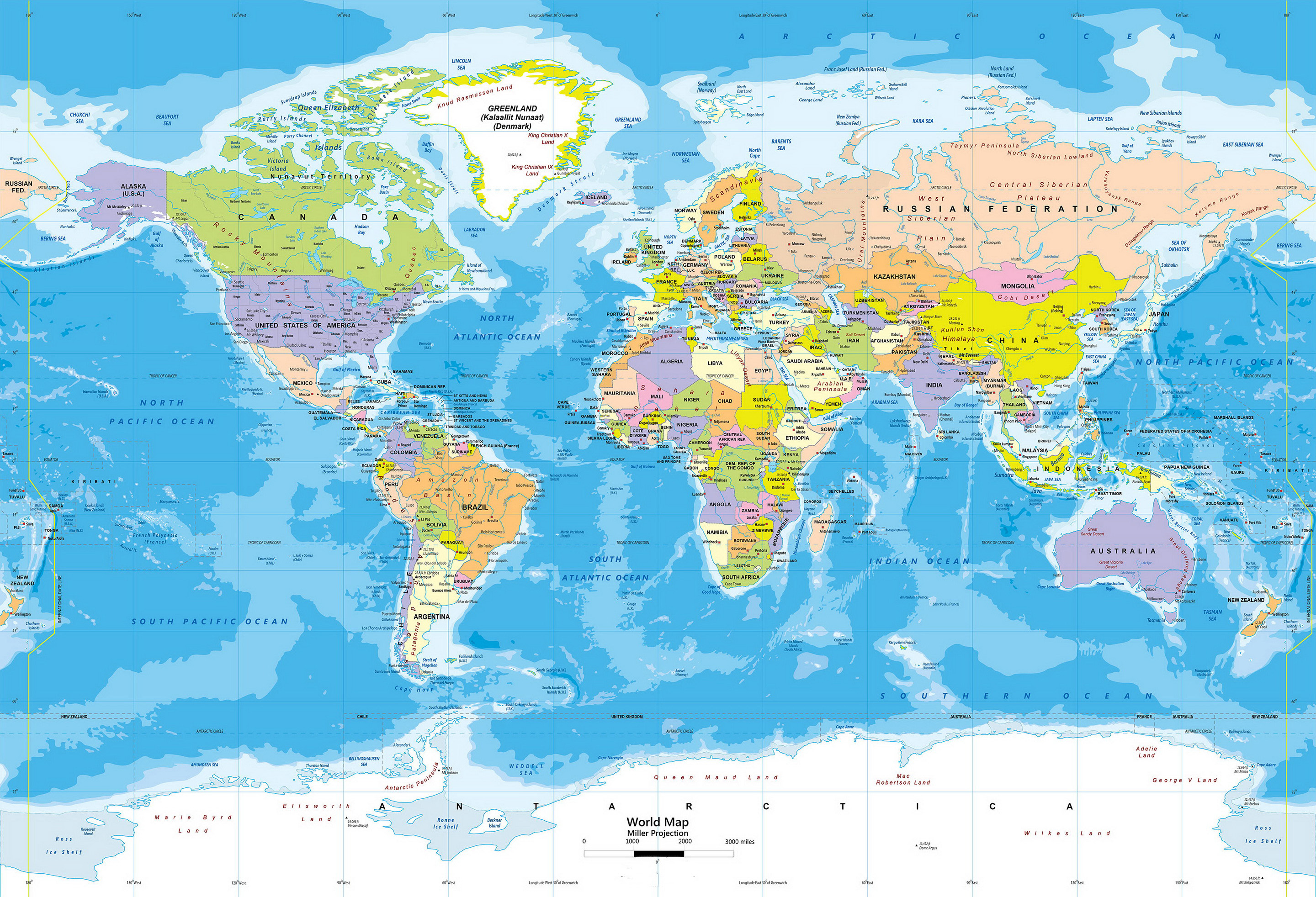
example of World map Modern (click to enlarge)
What are the main existing maps?
The main existing maps are cartography, physical, political and thematic maps.
Other maps and what they are for
There are other types of maps as well and each of them has its importance:
geomorphological map – represents the characteristics of the relief of a region.
climate map – indicates the types of climate that act on a region.
hydrographic map – shows the rivers and basins that cross a region.
biogeographical map – points out the types of vegetation that cover a given location.
political map – points out the division of the territory into countries, states, regions, municipalities.
Map economic – indicates the productive activities of man in a given region.
demographic map – shows the distribution of the population in a given region.
historical map – presents the historical changes that occurred in a given region.
road map – studies the highways and roads of a country.
topographic map – studies the relief in levels of height (also includes the most important rivers in the area).